The best hike is not just the prettiest one. Drive time, altitude, parking, season, and fitness shape the day. These picks progress from relaxed to demanding; route lengths are official or practical approximations, and current closures and weather should always be checked before departure.
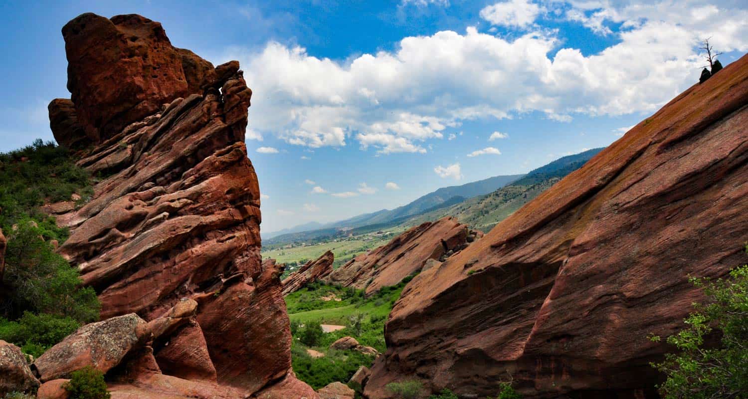
Red Rocks Trading Post Trail
Location: Morrison · about 25–35 minutes
Distance: 1.4-mile loop
Difficulty: Easy–moderate
A short red-rock sampler close to town. The exposed trail gets hot, so start early and carry water.
Official trail information and current rules ↗Bear Creek Trail at Lair o’ the Bear
Location: Idledale · about 35–45 minutes
Distance: Choose a short creek walk or continue farther
Difficulty: Easy for the lower section
Shaded creekside walking and picnic tables make this a relaxed choice. Parking often fills on weekends.
Official trail information and current rules ↗Fountain Valley Trail
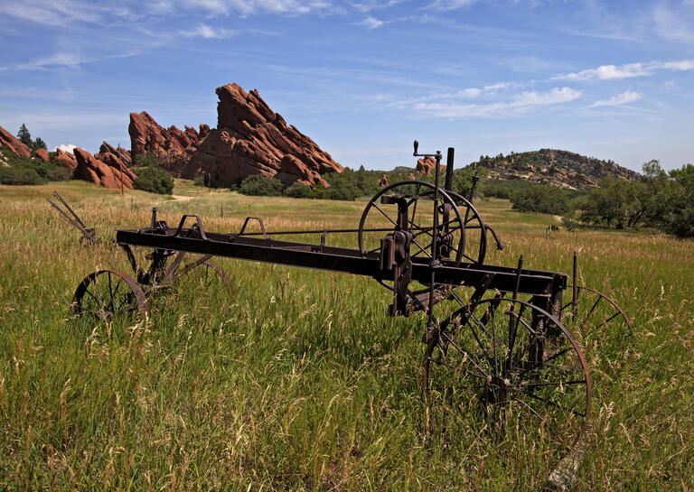
Location: Roxborough State Park · about 45–60 minutes
Distance: 2.5-mile loop
Difficulty: Easy–moderate
One of the best low-effort views of dramatic red-rock formations. A Colorado state-parks pass or daily vehicle pass is required; pets are not allowed on trails.
Official trail information and current rules ↗Mount Falcon Castle Trail
Location: Morrison · about 35–45 minutes
Distance: Route varies; east-side climb gains about 2,000 feet
Difficulty: Moderate–strenuous from the east
Combine Front Range views with historic castle ruins. For a gentler outing, start at the west trailhead; the east approach is a real workout.
Official trail information and current rules ↗Chautauqua / Bluebell Mesa
Location: Boulder · about 40–55 minutes
Distance: Build a 2–4 mile route
Difficulty: Moderate
Classic Flatirons scenery with flexible turnaround points. Summer weekends bring paid parking and a free Park-to-Park shuttle; use the shuttle when possible.
Official trail information and current rules ↗Chief Mountain Trail
Location: near Evergreen · about 55–70 minutes
Distance: about 3 miles out and back
Difficulty: Moderate, with altitude
A compact summit hike with broad mountain views. Snow and ice can linger; traction may be needed outside summer.
Official trail information and current rules ↗Bergen Peak
Location: Evergreen · about 45–60 minutes
Distance: about 9–10 miles round trip depending on route
Difficulty: Strenuous
A longer training day with roughly 2,100 feet of climbing from the Stagecoach trailhead. Start early and watch afternoon weather.
Official trail information and current rules ↗Emerald Lake Trail
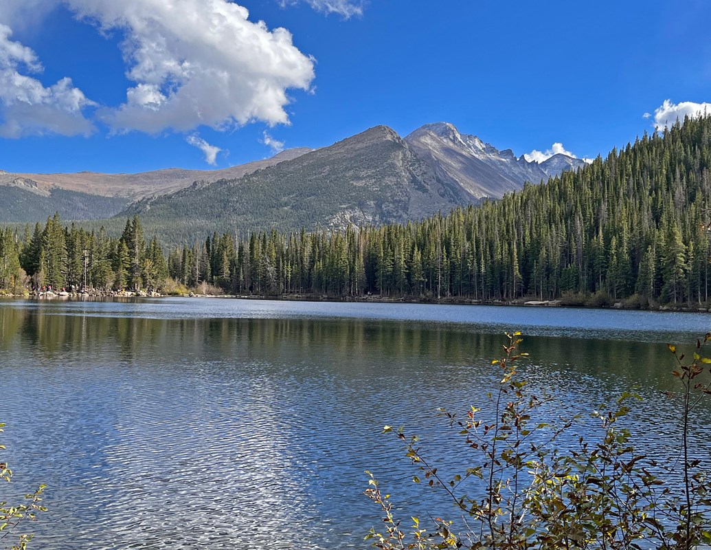
Location: Rocky Mountain National Park · about 1.5–2 hours
Distance: about 3.6 miles out and back
Difficulty: Moderate; high altitude
The farther drive is rewarded with Bear, Nymph, Dream, and Emerald lakes. In 2026, Bear Lake Road timed entry is required 5 a.m.–6 p.m. from May 22 through October 18, plus park admission.
Official trail information and current rules ↗